Fun with Google Earth
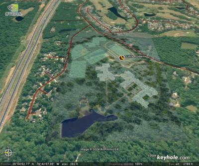
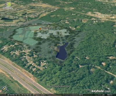
Google recently launched a free service called Google Earth that allows you to view aerial photos of places all over the world as if you're flying over them. I used an advanced feature of this software to overlay pictures of Trinity's model on our land with the following results. The aerial images are a couple years old (540 to Six Forks had just opened) and I couldn't get the modulars into the image, but it's still pretty cool to look at. It may help to know that you can view larger versions of any picture on this site by clicking on it. Enjoy!
Here's one from straight above.

Here's one from above 540 looking south:


0 Comments:
Post a Comment
Subscribe to Post Comments [Atom]
<< Home